Tokyo Kanto region structure: Guide to vast urban footprint
The sheer scale of the Greater Tokyo Area defines the urban experience for millions, stretching far beyond a simple city center.
Tokyo acts as the primary hub for the Kanto region, serving as the second-largest single metropolitan area in the world by built-up landmass.
This guide explores the geographic structure and connectivity of the Kanto region and Tokyo, focusing on the vast land area and the rail-heavy transit systems that link these hubs.
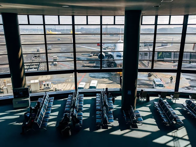
Key takeaways include the specific land composition of the Kanto Plain, the massive urban footprint of Tokyo, and the distinction between metropolitan urban functions and rural island territories.
How large is the Tokyo metropolitan area?
A surveyor walks along the bustling intersections of Shinjuku, where the city's immense footprint becomes visible. The Tokyo metropolitan area covers 8,547 square kilometres (3,300 sq mi) in terms of built-up or urban function landmass.
This makes it the second-largest single metropolitan area in the world.
The Kanto region structure is defined by this massive urban density. While the urban core is central, the geography is varied.
Tokyo as a metropolis includes 394 km2 of islands, specifically the Izu and Ogasawara islands. It also contains 331 km2 of mountainous areas to the far west. These western sections are officially part of Greater Tokyo, though they function as wilderness or rustic areas.
What is the role of the Kanto Plain? Tokyo Kanto region structure
A traveler looks out from a high vantage point across a vast expanse of flat, habitable land. The Kanto Plain makes up just over 45 percent of its land area. This geographic feature is central to the regional connectivity.
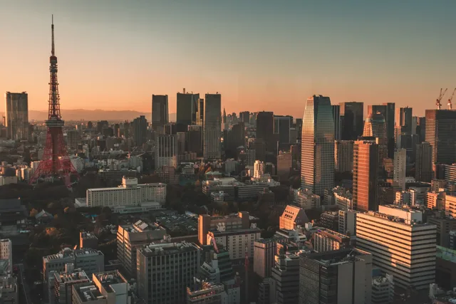
The Kanto region geography relies on this plain for much of its development. The population of the Kanto region is very similar to that of the Greater Tokyo Area. However, the Kanto region does not contain Yamanashi Prefecture. It also contains the rural populations throughout the region.
This creates a distinction between the highly concentrated urban core and the broader regional layout.
How do residents navigate the Kanto area connections?
A commuter grips a handrail on a crowded train as it glides through the city. The reliance on rail is a defining characteristic of the region's infrastructure.
In 2001, some 57 percent of all Greater Tokyo residents used rail as their primary means of transport. This connectivity extends into neighboring cities through complex networks.
For example, in addition to Tokyo's two subway systems—the Tokyo Metro and the Tokyo Metropolitan Bureau of Transportation (Toei and Toden lines)—Yokohama also has two subway lines. These lines ensure the Kanto area connections remain functional for the massive population.
Is the region subject to specific geological monitoring?
A scientist monitors seismic sensors near the coast of South Kanto. Because of the tectonic activity in the region, specific areas are under constant observation.
As part of Japan's attempts to predict earthquakes, an area roughly corresponding to South Kanto has been designated an "Area of Intensified Observation" by the Coordinating Committee for Earthquake Prediction.
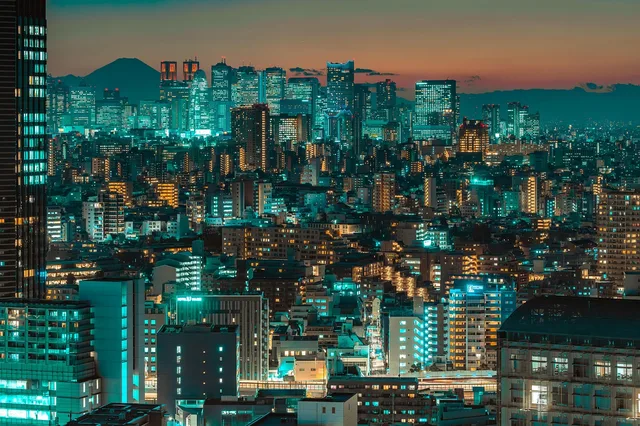
This monitoring is vital for the safety of the millions living within the urban function landmass.
How does the economic landscape compare?
An analyst reviews regional economic indicators alongside global benchmarks. The economic output of the region is tied to its massive urban density. According to World Bank data, Japan recorded international tourist arrivals of 4,115,800 in 2020.
This figure represents the economic status of the nation.
| Metric | Value |
|---|---|
| Tokyo Urban Landmass | 8,547 km2 |
| Kanto Plain Land Share | >45% |
Why is the metropolitan area so large?
A developer examines a map of the sprawling urban landscape. The size of the area is a result of both urban expansion and the inclusion of diverse territories.
I noticed that the administrative boundaries of Tokyo include much more than just the skyscrapers. The metro area is vast because it encompasses both massive urban centers and remote territories.
- Identify the urban function landmass, which reaches 8,547 square kilometres. 2. Account for the mountainous areas to the far west. 3. Include the island territories like the Izu and Ogasawara islands.
A final check ensures the distinction between the urban center and the rustic western areas is maintained.

- How large is the Tokyo metropolitan area?
- What is the role of the Kanto Plain?
- How do residents navigate the Kanto area connections?
The subject here is Tokyo Kanto region structure.
The same subject is also called Kanto plain geography.
The same subject is also called Tokyo administrative layout.
The same subject is also called East Japan infrastructure.
This part also covers Tokyo central regional hubs.
This part also covers Geographic links in Kanto.
This part also covers Local infrastructure development.
Tokyo central regional hubs
Related
- Hachiko statue Shibuya history: How to explore old symbols
- Kanto region population density tips: See how people occupy
How does the sheer scale affect local life?
- The sheer scale of the Greater Tokyo Area dictates the daily life of many inhabitants. 2. The massive urban footprint means that local services must manage immense population concentrations. 3. Residents must contend with the infrastructure supporting such a vast landmass.
The sheer scale requires extensive transit solutions, evidenced by the high reliance on rail transport across the Kanto region. This density necessitates careful planning for both movement and resource distribution across the diverse geography.
What are the conditions for regional development?
The Kanto Plain provides the foundational condition for much of the region's growth. This flat expanse allows for the concentration of development that characterizes the metropolitan area.
The regional layout contrasts the dense urban core with the broader territories that surround it. These surrounding areas, including mountainous sections, present different conditions for habitation and land use.
The sheer scale demands that administrative boundaries encompass both highly functional urban zones and more remote, rustic territories. This inclusion of varied land types shapes the regional character significantly.






Comments 0